

Emesent Aura
LiDAR Point Cloud Processing & Visualisation Software
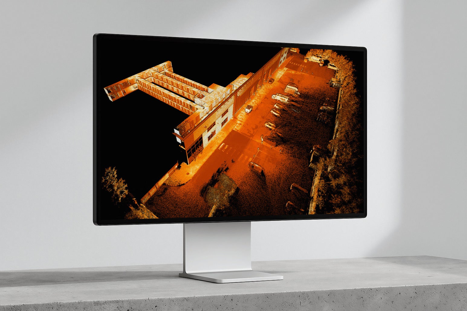
Emesent Aura is the processing and visualisation platform behind every Emesent scan, taking point clouds from raw capture to finished deliverable in one intuitive application. It automates traditionally manual, error-prone steps — georeferencing, drift correction, alignment — so teams get accurate, high-quality results faster. Aura Cloud extends the platform with browser-based sharing of 360° walkthroughs and point clouds via a simple link, with no software installs or file transfers required.

Key features
- Automated georeferencing & drift correction — removes manual GPS entry and time-consuming adjustments.
- Non-rigid merge — seamlessly combines multiple scans into one consistent dataset.
- High-precision RTK/PPK processing — centimetre-level accuracy with reduced reliance on physical ground control points.
- Verified results — checkpoints, error reporting, and shareable accuracy reports build client confidence.
- Enhanced visualisation — 360° colourisation, 360° panoramic image integration, colour-scale filtering (elevation, intensity, time, range), and surface noise reduction for cleaner CAD-ready data.
- Change detection & convergence monitoring — optional module for tracking environmental change in underground settings.
- Unlimited processing — no per-scan or per-sqm usage fees, with multi-user, multi-device licensing.
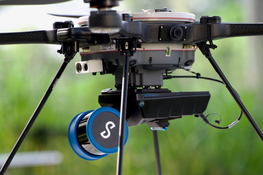
- Multi-capture support — processes data from drone, handheld, backpack, survey pole, or vehicle capture alike.
- Flexible targets — use Emesent’s retroreflective targets or any identifiable point-cloud feature.
Ideal for
Survey teams and engineering firms needing a single, streamlined workflow to process, clean, georeference, validate, and share point cloud data at scale.
Works with
Hovermap and GX1 scan data, with RTK support for DJI M300/M350 drones and PPK support for common GNSS receivers (Emlid, Trimble, Leica).