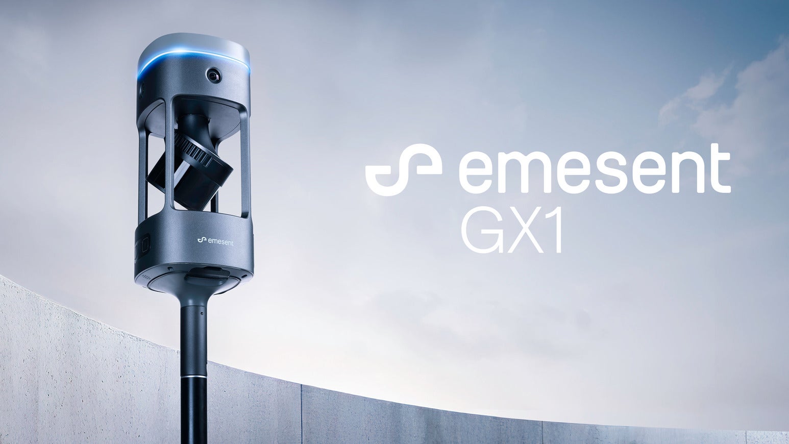


Emesent GX1
Mobile LiDAR Scanner (SLAM + RTK)
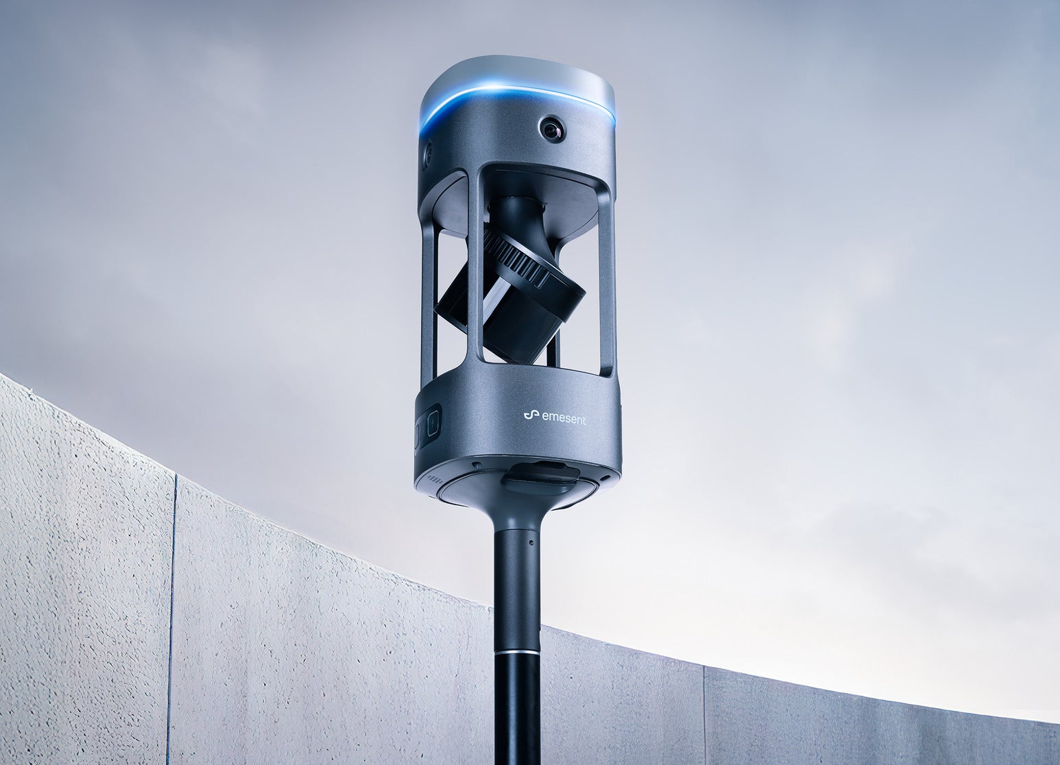
Emesent GX1 is an all-in-one mobile mapping scanner that combines SLAM, integrated RTK, 360° panoramic imaging, and LiDAR in a single handheld-to-vehicle-ready device. Built for survey professionals, GX1 removes the traditional trade-off between scanning speed and data accuracy, delivering 5mm-10mm global accuracy with real-time RTK quality monitoring so teams can prove accuracy on site rather than discovering issues back at the office.

Key features
- Emesent SLAM technology — proven in autonomous underground drone navigation, delivering sub-10mm global accuracy indoors and out, even in GPS-denied or feature-poor environments.
- Integrated 448-channel RTK receiver — 6cm + 0.5ppm horizontal / 1cm + 0.5ppm vertical accuracy, with PPK support for post-mission processing.
- 4 x 20MP cameras — 360° horizontal / 284° vertical coverage in a single pass, with automated people masking and 360° panoramas.
- Hesai XT32M2X LiDAR — 300m range, up to 1.92M points/sec, 2mm scan precision.
- Four deployment modes — backpack, survey pole, vehicle mount, and supported handheld, all via quick-release mounting.
- Flexible georeferencing — integrated RTK, PPK, or user-selected targets/checkpoints in post-processing.
- Unlimited on-premise processing — no per-scan fees, with concurrent user licensing.
- Rugged design — IP65-rated, -10°C to 45°C operating range, 2TB onboard storage, 60-minute removable battery.
Ideal for
Road and topographic surveys, construction progress monitoring, Scan-to-BIM, and tunnel/infrastructure surveys where speed, accuracy, and client-ready imagery all matter.
Works with
Commander (mission monitoring), Aura and Aura Cloud (processing, visualisation, sharing), and exports to Autodesk, Trimble, Bentley, and Leica platforms.