

Emesent
Scan Faster. Nail Accuracy. Emesent's Mobile LiDAR Mapping for Survey Teams
Emesent's autonomous LiDAR mapping pairs laser-based sensors with onboard intelligence, capturing precise, three-dimensional data even in places GPS won’t go.

Subscribed
You have successfully submitted your enquiry. Someone from our company will respond ASAP
About Us

Surveyors and engineers have long faced a trade-off: total stations and terrestrial laser scanners deliver trusted accuracy but demand time and careful setup. Drones and photogrammetry move faster but stumble in dense vegetation, tight indoor spaces, or anywhere satellite signal doesn’t reach. Emesent was formed to remove that trade-off through autonomous LiDAR mapping — pairing laser-based sensors with onboard intelligence, capturing precise, three-dimensional data even in places GPS won’t go.
At the heart of every Emesent scan is SLAM — Simultaneous Localization and Mapping. SLAM lets a sensor work out where it is in space while building a map of its surroundings at the same time, using the environment’s own features as reference points rather than relying on satellite positioning.
That matters in construction and infrastructure work, where the sites that most need accurate data — basements, tunnels, forested corridors, dense urban canyons, the underside of a bridge — are often exactly where GPS signal is absent. Emesent SLAM was proven first in one of the toughest work scenarios: autonomous drone navigation inside underground mines, with no GPS support at all. That same engine now powers Emesent’s commercial survey tools.




Two scanners, one philosophy: versatility without compromise
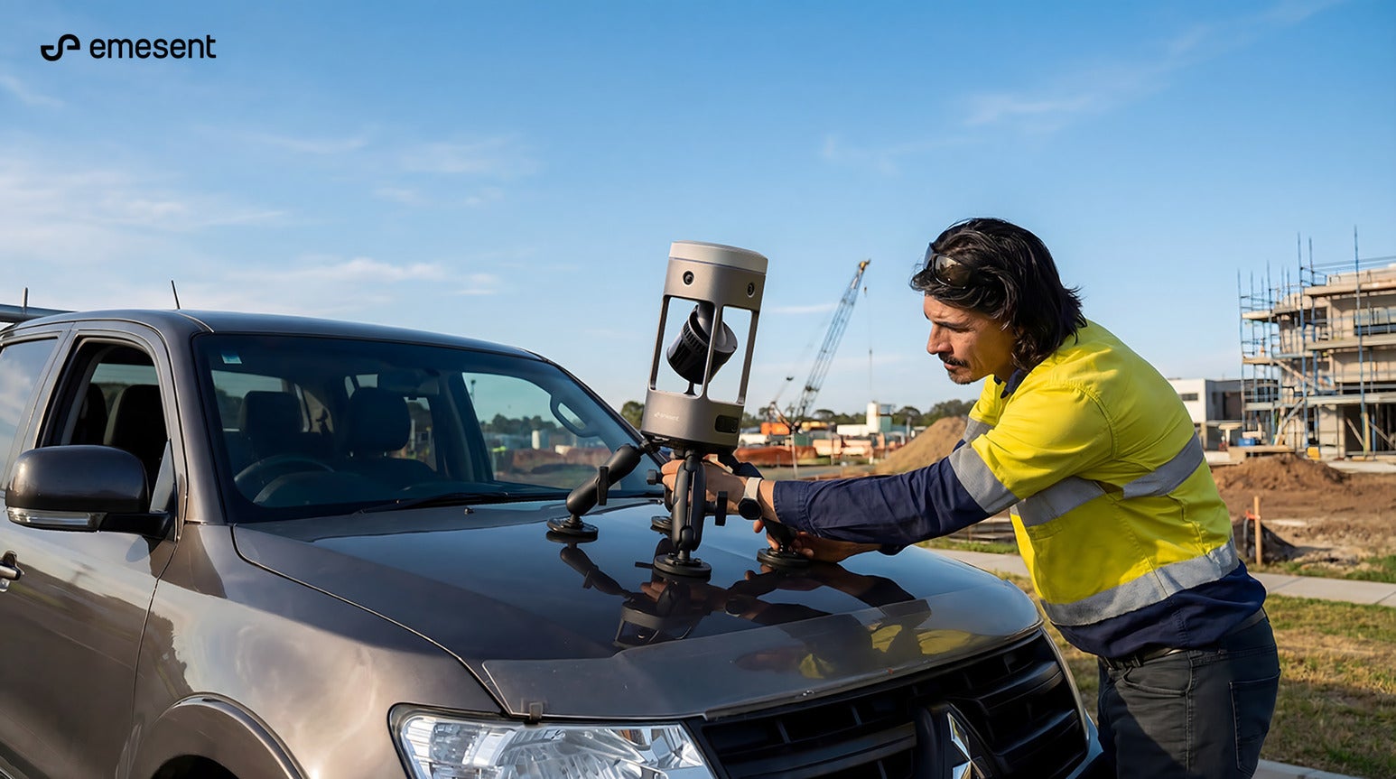
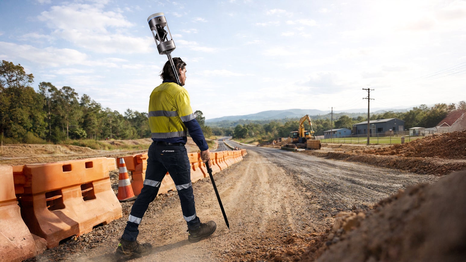
Emesent Hovermap is the versatile all-rounder. A single unit switches between a drone, a robot, a vehicle, a backpack, a handheld pole, or a protective cage via a quick-release mount, so one device can capture a mine void from the air one day and a road corridor from a vehicle the next.
With a sensing range up to 300 meters and the ability to capture more than a million points per second, Hovermap is built for autonomous, GPS-denied flight as much as for fast, wide-area ground scanning — pairing its proven SLAM engine with automated ground control and RTK (Real-Time Kinematic satellite positioning) integration to deliver sub-centimetre precision.
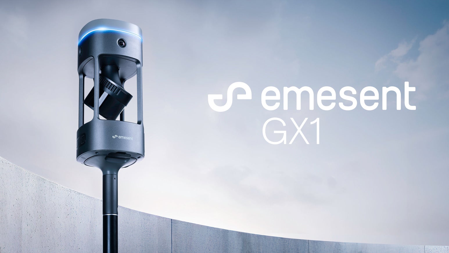
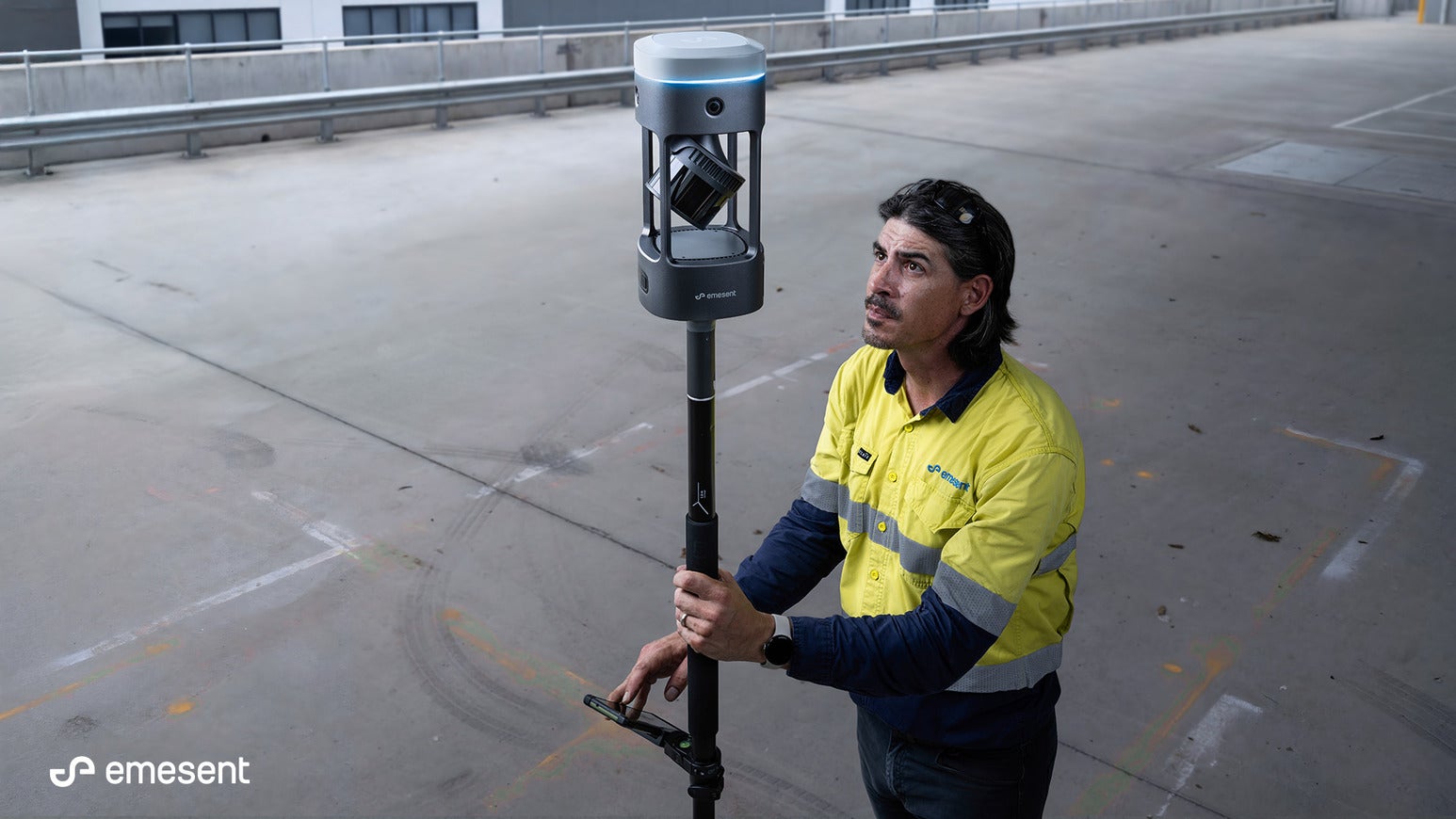
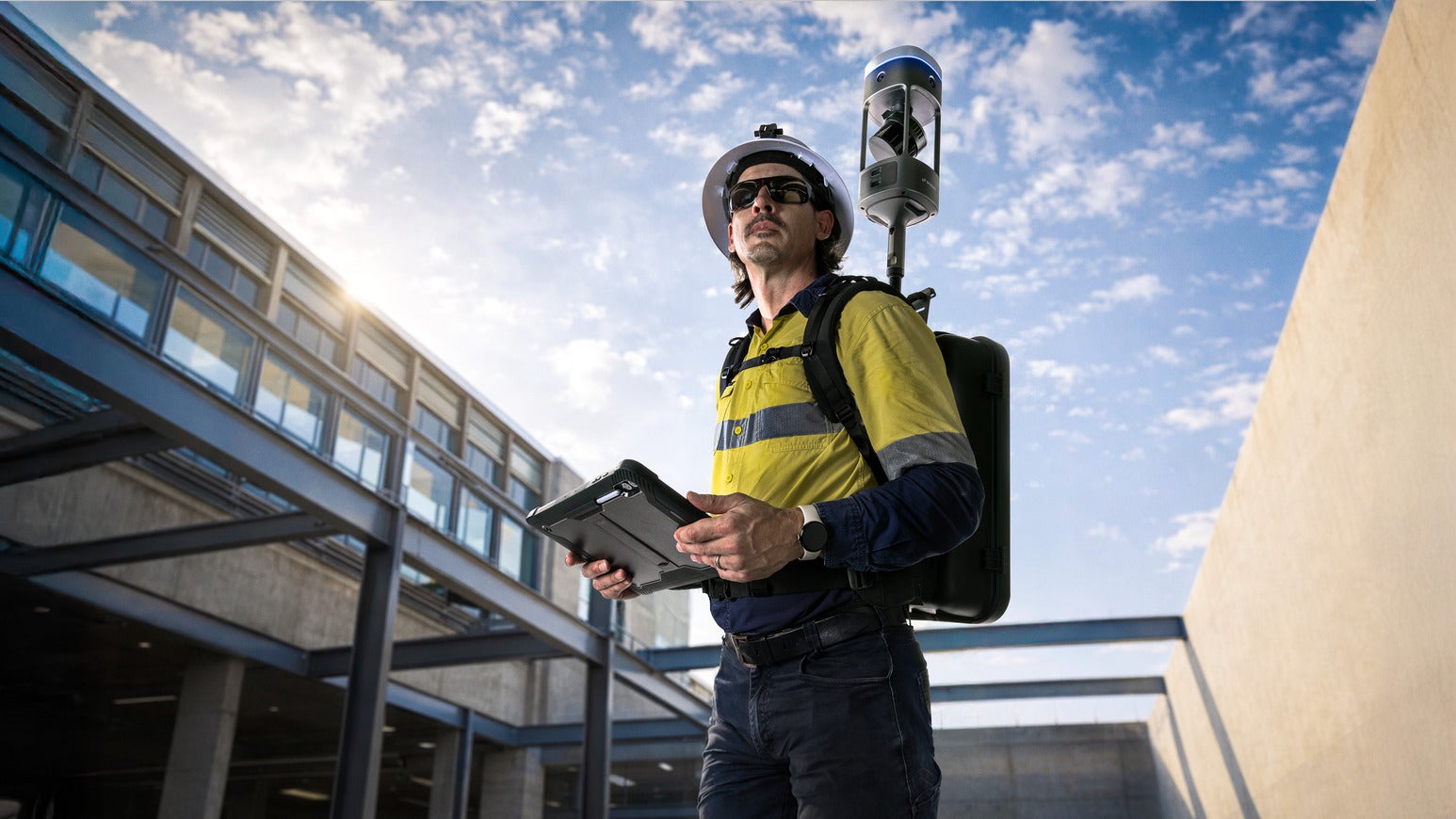
Emesent GX1 is a ground-focused scanner, purpose-built for surveyors who need the speed of mobile scanning without giving up trusted accuracy. It combines SLAM, integrated RTK, and four 20-megapixel cameras in one all-in-one unit that mounts on a backpack, survey pole, vehicle, or handheld harness. GX1 delivers 5mm–10mm global accuracy — a level that lets survey teams treat mobile capture as a primary method rather than a rough first pass, with the option to refine results using RTK in the field, PPK (Post-Processed Kinematic correction) in the office, or manually selected control points where extra rigor is needed.
Proven on real projects, not just in the lab
The business case for better data capture is bigger than any one project: one industry study puts the cost of bad construction data at $1.8tr worldwide, largely the result of inaccurate, incomplete, or out-of-date site documentation. Faster, more accurate capture doesn’t just save time on-site — it means fewer expensive return trips, less rework, and more completed jobs per week. Emesent’s partners have already put both scanners through real project pressure, and the results speak plainly to that value.
At Geotwin, a digital engineering service provider, Hovermap was deployed three different ways — flown by drone, mounted to a vehicle, and carried by backpack on a telescopic pole — to complete a topographic and tree survey along a 2.3km arterial road. The job needed data over 20 hectares without disrupting live traffic, and included hard-to-reach spots like a culvert under a bridge. What would have taken three weeks with a total station and GPS was finished in a single day. “Emesent and the Hovermap STX made it significantly easier and quicker to do a topographic survey,” said Garry Elali, Geotwin’s operations manager.
Gridvision, a power line inspection specialist, used vehicle-mounted Hovermap STX to fill a gap between expensive large-scale aerial surveys and smaller, ad hoc client requests. Typical scans now take just 20–30 minutes, and because Hovermap captures coated low-voltage cables and consumer mains that aerial surveys miss, the company has taken on infrastructure work aerial methods alone couldn’t service — while still meeting the RTK-level accuracy utility clients require for safety-critical assessments.
Bridge inspection puts the GPS-denied case at its sharpest. In the US alone, more than 46,000 bridges are considered structurally deficient, and routine inspection has traditionally meant lane closures, snooper trucks, or crews working at height. Most inspection drones rely on GPS for stability — a problem directly beneath a bridge deck, where satellite signal all but disappears. Hovermap’s Pilot Assist mode uses LiDAR rather than GPS to hold a drone steady close to the structure, capturing high-resolution imagery of areas that GPS-reliant drones can only photograph from a safe distance. The result is inspection that’s around 40% more cost-effective than traditional methods, without sending anyone up in a basket or over the side of the structure.
Sonto, a surveying firm producing 60-plus residential scans a month for architects and designers, joined the Emesent GX1 beta programme to sharpen an already-established mobile scanning workflow feeding Scan-to-BIM (Building Information Modeling) deliverables — a use case where Emesent’s technology has cut scanning time by up to 90% compared with terrestrial laser scanning.
GX1’s integrated camera, positioned above head height, largely eliminated the operator from 360° photosphere imagery, while its consolidated hardware cut new technician training time by roughly 20% and delivered zero field failures across six test projects — translating to an estimated 30% reduction in field errors over a year, alongside a 10%–20% improvement in fine-detail reproduction.
Orion Spatial Solutions, a survey firm with 15-plus years in scanning, shows how trust in SLAM is built over time rather than assumed. Trained on terrestrial laser scanners, Orion initially treated SLAM with healthy scepticism, running Hovermap alongside other sensors to validate its outputs. Today, Hovermap STX is their most-used scanner, credited with taking roughly 80% of jobs that once required terrestrial laser scanning — and Orion has committed to adding Emesent GX1 to its fleet for jobs where tight sensor integration matters most.
Emesent’s SLAM-based mobile LiDAR mapping keeps proving the same point: speed and accuracy are no longer a trade-off.
White Papers
Press Releases
Contact Details
Address
Level 1, North Tower,
339 Coronation Drive ,
Milton,
QLD 4064,
Australia
339 Coronation Drive ,
Milton,
QLD 4064,
Australia
Phone
Regional Offices
Address
Emesent Head Office
Level 1, North Tower
339 Coronation Drive
Milton
QLD 4064
Australia